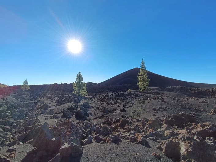
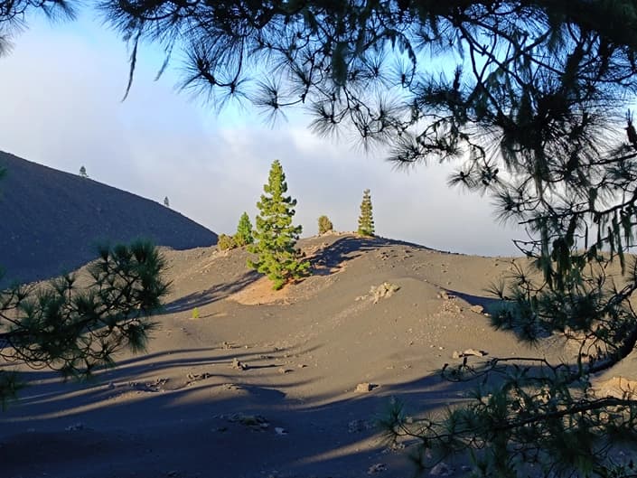
An overview route 20 km long with a total ascent of about 500 m around the eruption zone of the Chinyero volcano. The eruption occurred in late November 1909 and lasted roughly 10 days. It was the first eruption observed by volcanologists in the Canary archipelago and at the same time - the last manifestation of active volcanism on the island of Tenerife. The eruption is of the strombolian type. It caused no casualties or destruction. The circular route allows you to see what the consequences of the eruption look like just over 100 years after the event.
More information about routes and interesting places in Tenerife - here: I can’t access external websites. Please paste the Russian text from that page here (or upload it), and I will translate it into English preserving the formatting and punctuation.
The route starts at an altitude of 1100 m in the village of San Jose de los Llanos. It's convenient to leave the car in the municipal parking lot.
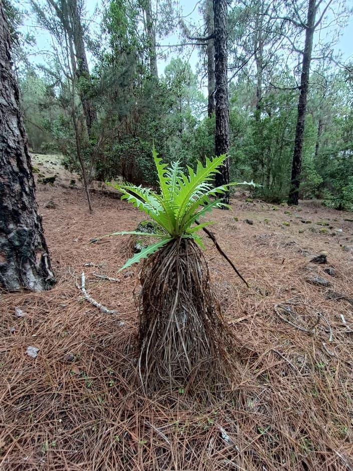
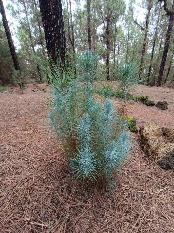
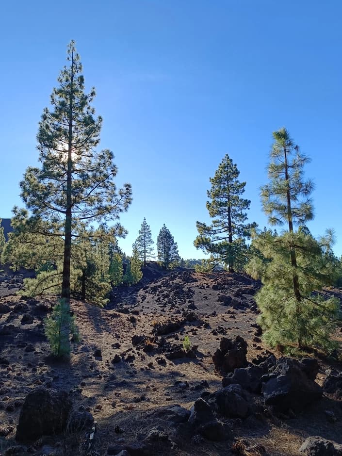
At the beginning of the route, the ascent goes through a pine forest. While there are no panoramas, you can focus on studying the Canarian flora.
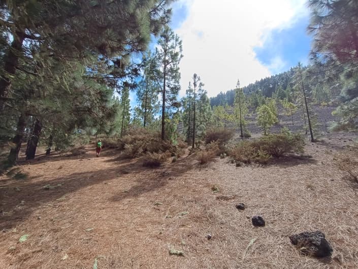
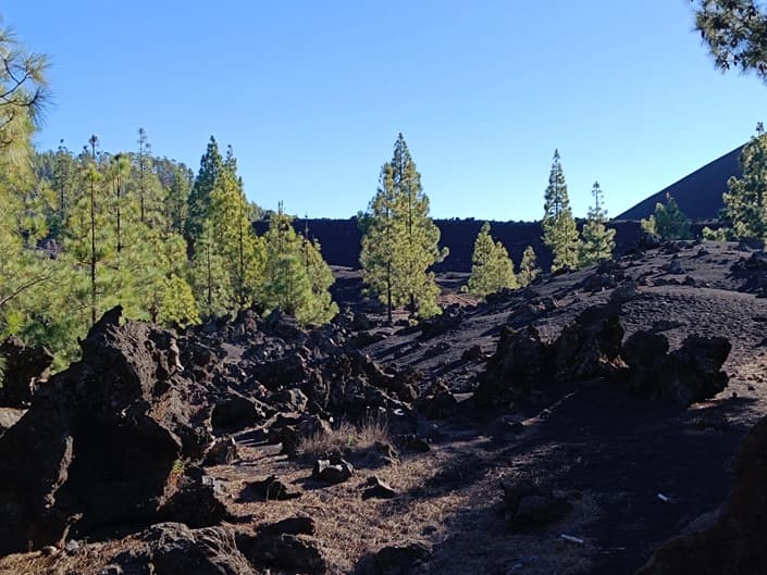
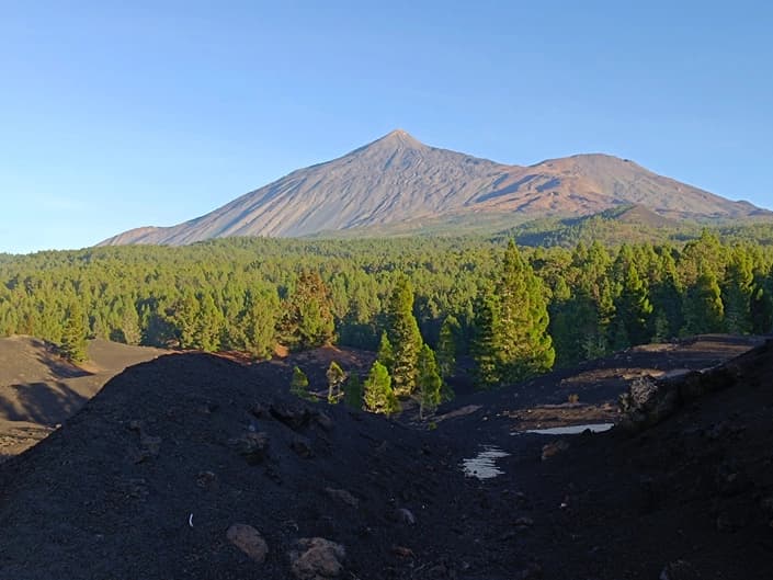
At an altitude of 1300m the pine forest thins, and traces of ancient eruptions appear as fields of ash not yet completely hidden by vegetation.
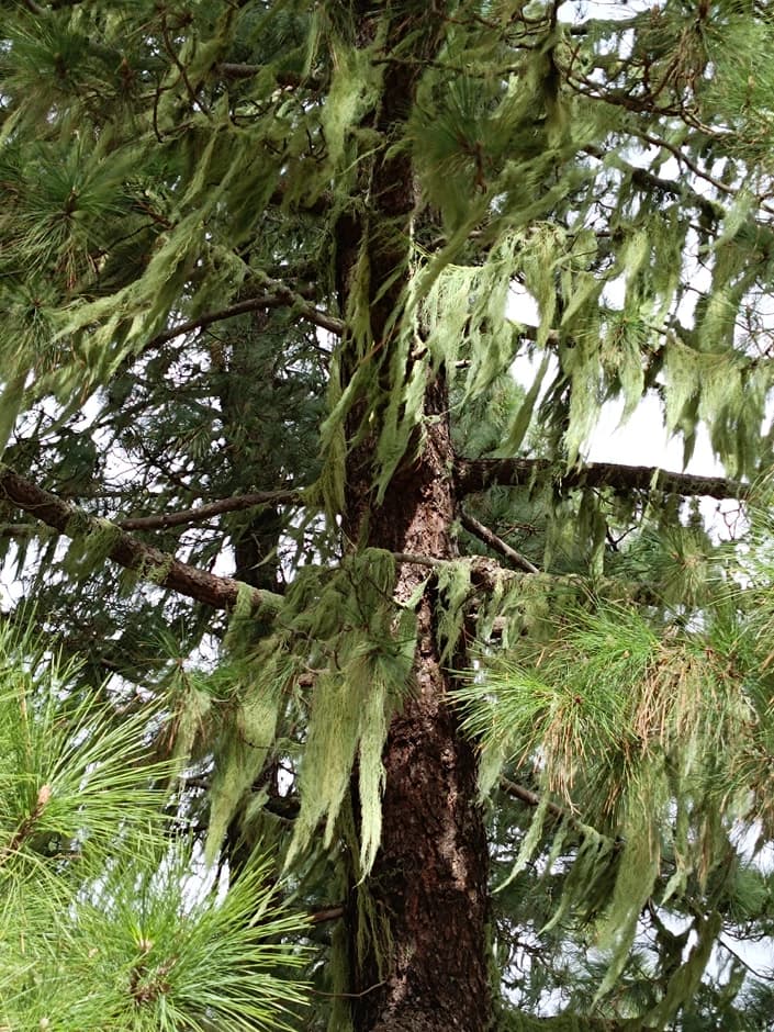
Here you can observe lichen that has grown abundantly on the branches of trees. This is an illustration of the influence of moist oceanic air and sharp climatic zonation on the steep slopes of islands raised high above the surface of the ocean.

More information about routes and points of interest in Tenerife - here: I can't access external links. Please paste the Russian text from that page here for translation.