Park Cadi Moixero - one of the largest natural parks of Catalonia, located in the Pyrenees between the provinces of Girona and Barcelona.
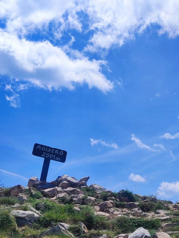
Today we'll take a walk across the mountain range to the Moixero peak (2.091 m).
Start — from the Riu de Cerdanya area, from the parking lot by Refugi del Serrat de les Esposes (~1500 m). You can only get here by car. Leaving Barcelona, you'll encounter a toll road on the way. The cost of a one-way trip through Tunel de Cadi - 14.56 euros.
We immediately join the marked Cavalls del Vent trail.
The first kilometers of the route are very comfortable: you walk through the forest, along the Torrent del Ramon stream, and can feel a pleasant mountain freshness.
Next we come to a fork and begin the main climb. This is the most physically demanding section, a long climb awaits us.
If you wish, you can slightly extend the route and see the relict trees that reach impressive sizes.
The trail is well marked and takes about 30-40 minutes.
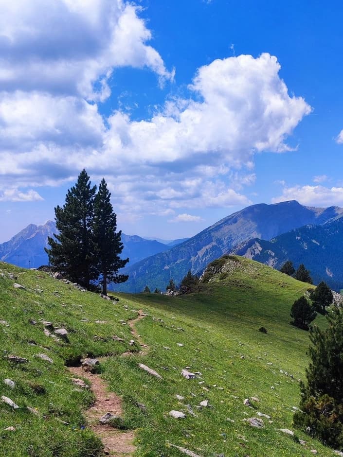
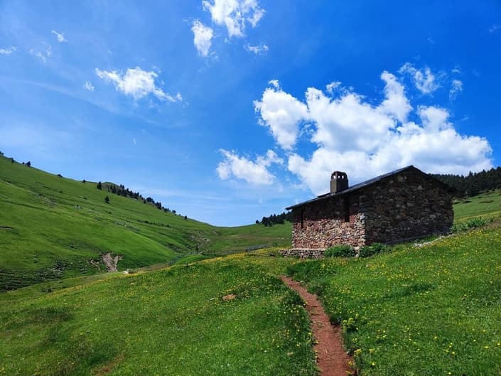
The long climb ends at Coll de la Font de la Coma (~1900 m), where views of the Moixero ridge first open up. There is a lot of greenery here and a shepherd's hut can be seen, where you can take a short break while admiring the view and the horses (if you're lucky).
Next we have the last kilometers to the summit and a short, but very steep ascent. From the peak there is an incredible panoramic view of the nearby mountains. It is often very windy.
You can return along a different trail, following the signs – everything is clearly marked.
At the end of the route you can stop at Regufio by the parking lot, which is usually open in the summer months.