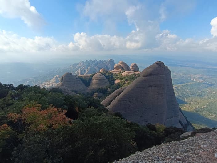
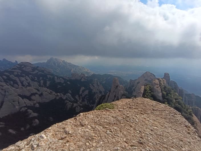
This is a description of the ascent of one of the peaks of the Montserrat massif, including approaches to the key part of the route oriented toward public transport.
In the proposed variant the length will be 12km, the ascent 750m, the descent also about the same.
The track can be viewed and downloaded on the map
More detailed information about the route (description, how to get there, more photos) can be found at Annotated photo album.
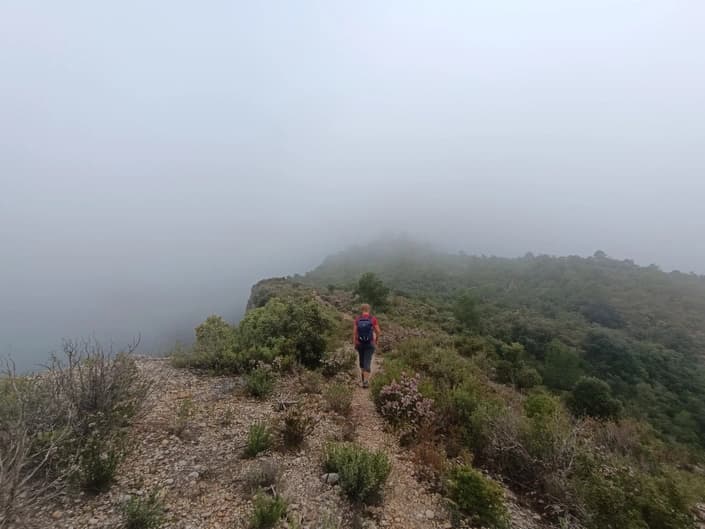
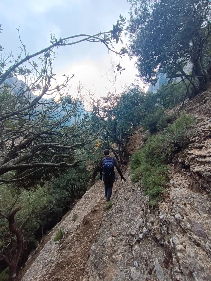
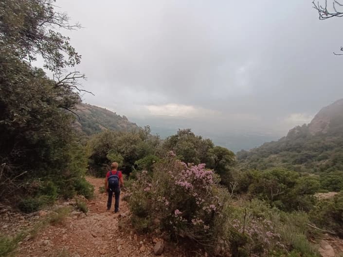
The route includes approaches from the bus, the climb itself, and the descent into the town of El Bruc.
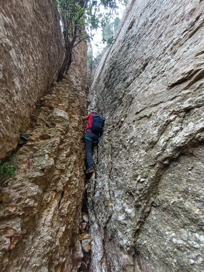
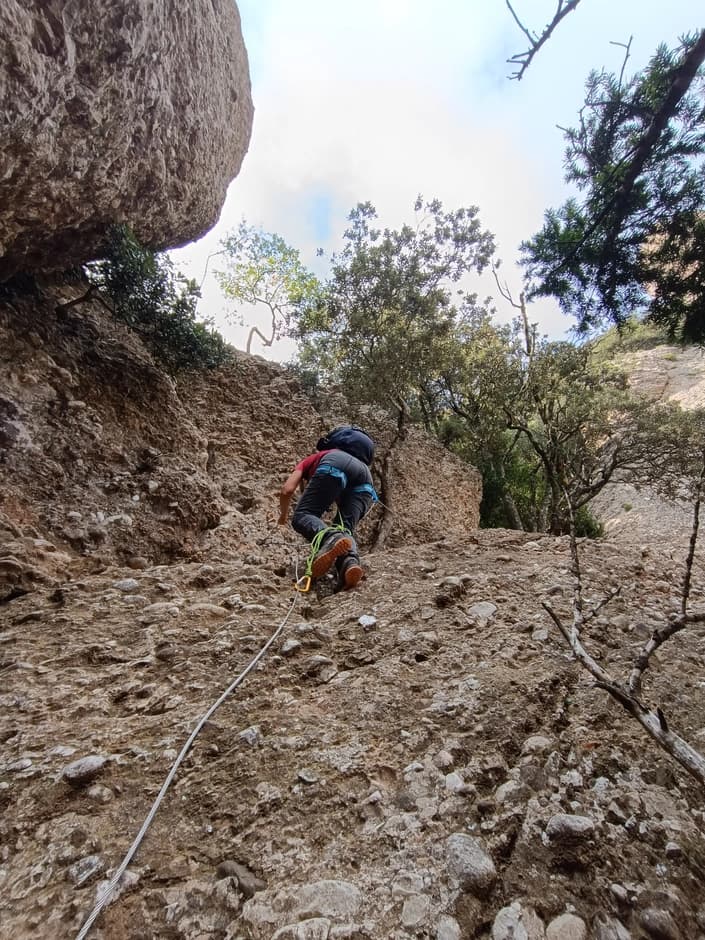
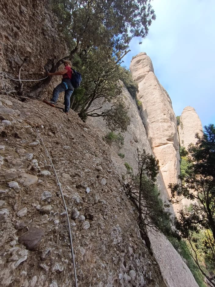
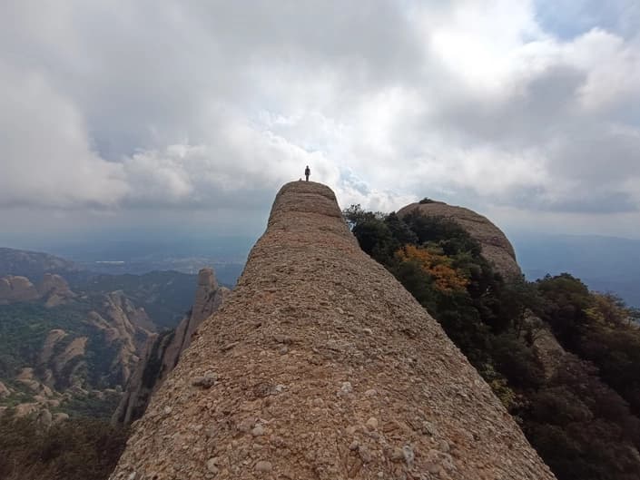
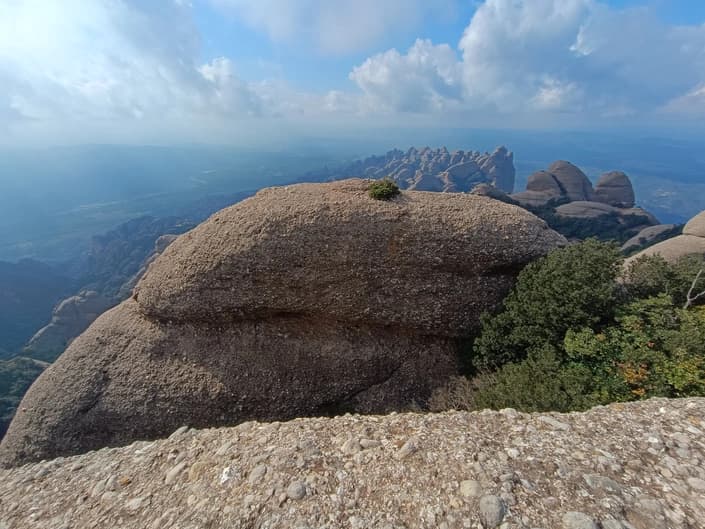
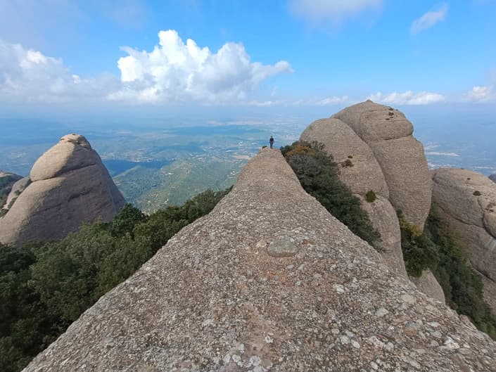
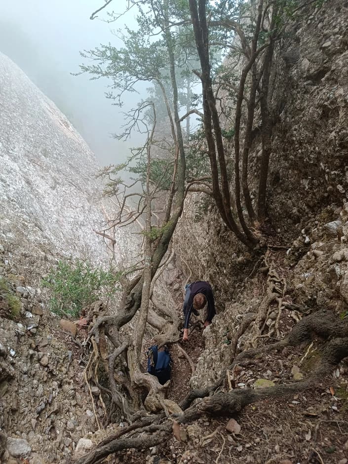
The only technical difficulty is the ascent itself from the Call de Migdia 1029m pass to the summit and the descent from it back to the pass along the ascent route. The elevation gain on this section will be 200м.
Difficulty is not great, but it will require confident scrambling on steep rock, skill in stemming (bridging) moves, no fear of heights, a safety harness and via ferrata lanyards (in one place). A helmet is also recommended.

You can view and download the track on the map
More details about the route (description, how to get there, more photos) can be read at Annotated photo album.
(c) stremglav.fun